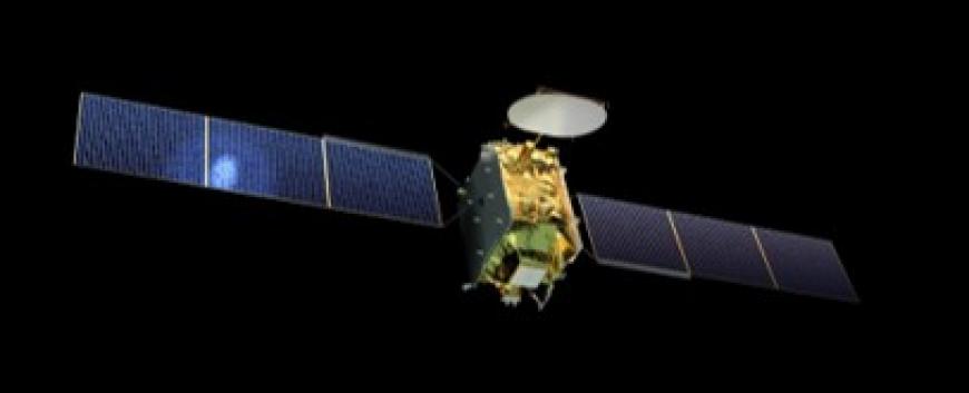
Thanks to the open data policy of space agencies, the space-industry has been moving very fast in recent years. The processing of satellite images provides a new, innovative opportunity for environmental science applications.
As a result of our many years of research and development activities and international collaborations, our research team has a unique knowledge of Earth observation by processing of satellite radar recordings in a supercomputing environment. Basically, the knowledge of many specialities is synthesized by the satellite radar image processing; classical image processing techniques, geoinformation gains, land cover and land use research methods, but the issue of Big Data and supercomputing technology is also concerned, just like the classical algorithm development. The technology used for this solution is a graph-based classification of complex remote sensed, large size data in a supercomputing environment.
Keywords: Space Agencies, Satellite Imagery Data Sources, environmental science
CONTACT
Pécsi Tudományegyetem | Kancellária | Informatikai és Innovációs Igazgatóság 2021.

