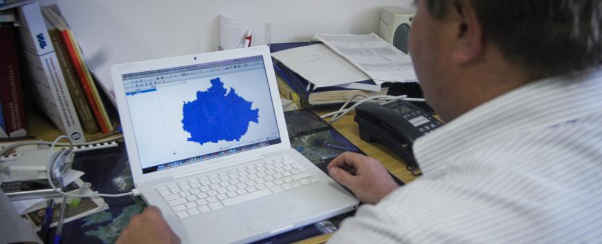
This know-how is based on the GRASS GIS system for determining the time spacing between point-linked objects connected to a road network. The solution is suitable for determining how long it is possible to reach selected points (real locations) from one point to another so that the quality, capacity and speed of the road network can be freely parameterized. Each point can be assigned any amount of specific data that allows the meaning of the points to be freely modified, including their initial, intermediate, and endpoints.
The output of the program is graphical maps and numerical results in the form of tables grouped according to the nature of the phenomenon. For example, when modeling rescue services, we get outputs, in addition to about 20 maps per county, that in addition to a freely available rescue, hospital, and hospital time limit, how many residents in the county remain (unpaid), resources and in the event that such restriction is not in effect. An important feature is that the elaborated form of the solution exists in the form of computer programs, is fully functional and tried and tested.
Keywords: geoinformatics, transport organization, rationalization, software
CONTACT
Pécsi Tudományegyetem | Kancellária | Informatikai és Innovációs Igazgatóság 2021.

