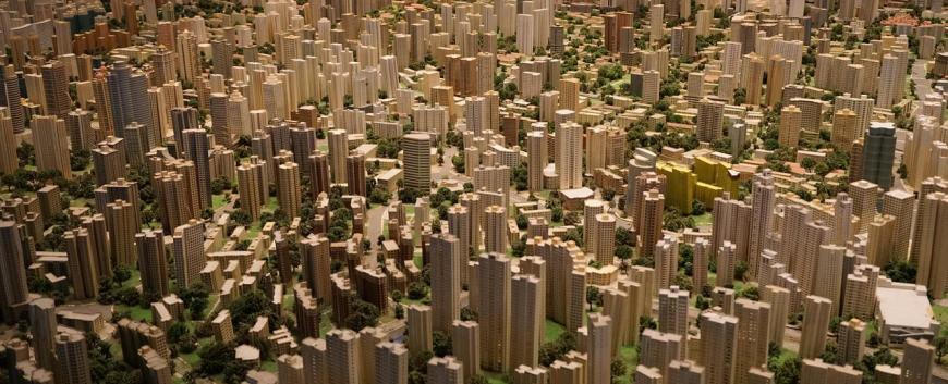
The spatial expansion of settlements depends to a large extent on the natural environment. The topography, hydrology and microclimatic conditions are the best factors for planning the best location for new housing, sports facilities and industrial sites. These spatial features are best understood using geoinformatics methods.
It is important for local decision-makers to be aware of the population's ideas and needs. Data collected through questionnaires and other means can be used to map the needs and opinions of the population. These can be used to classify the area of a settlement, and to identify areas that are more valuable, better or less attractive in certain respects.
Our main services:
- Classification of settlements and parts of settlements based on natural features
- map of settlements, villages and natural areas by natural features
- Municipalities' environmental satisfaction map (built environment)
- Survey and mapping of natural and social features
Available equipment:
- Data collection instruments: GPS, theodolite, level
- Analysis software: ArcGIS, IDRISI, GRASS, Surfer
CONTACT

Pécsi Tudományegyetem | Kancellária | Informatikai és Innovációs Igazgatóság 2021.